The FNQ Regional Plan 2026: Just a line on a map, or the start of a new Ecological and Economic reality?
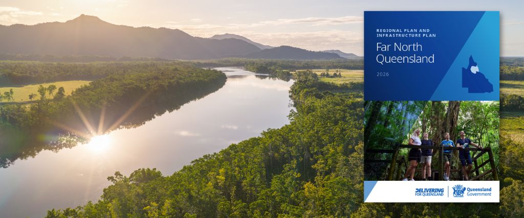
Dawn over the Daintree River and surrounding floodplain. © Martin Stringer/Rainforest Rescue; Queensland Government
The Far North Queensland Regional Plan 2026 was gazetted on 8 May. For the Daintree lowlands, it arrives at a turning point — and opens a door that wasn’t open before.
The landscape has already made its decision.
In the Douglas Shire, sugarcane is done. The mill is closed. Farmers who’ve worked the lowland floodplain for decades are in consensus about it: the economics do not tally anymore, the flooding is getting worse, and there’s no compelling reason to continue in this manner.
What remains is some of the most ecologically significant marginal land in Australia. Low-lying floodplain running alongside the Daintree River, sitting at the edge of the Wet Tropics World Heritage Area and within reach of the Great Barrier Reef Marine Park. Wetlands of national importance. Former cane paddocks that were once oxbow lakes and mangrove fringe. Land that, with the right investment and policy settings, could do extraordinary ecological work once again.
The question is how this reality might come to fruition. And that’s exactly what the FNQ Regional Plan 2026 is starting to answer.
What the plan stipulates
At the end of 2025, Rainforest Rescue made a formal submission to the draft Regional Plan. We asked for honest recognition that parts of the floodplain are no longer viable for agriculture, that wetlands and mangroves be treated as assets rather than liabilities. With that, specific landscapes, including the Daintree Oxbow, should be designated as Strategic Rehabilitation Areas (SRA), formally identifying them as priorities for restoration-led land use.
The final plan, gazetted on 8 May 2026, organises the region’s future around five themes: housing, thriving economy, ecotourism and biodiversity, healthy and liveable communities, and infrastructure.
Ecotourism and biodiversity. Named. Alongside the economy, not separate from it.
The Oxbow wasn’t designated as an SRA in this first iteration of the plan. But the plan includes a specific provision recognising that SRAs will be identified and added as restoration opportunities become clear, in line with the restoration priorities the plan establishes.
That’s an indication of a plan which adapts to emerging activities, and it’s exactly the pathway we intend to use.
The Oxbow, the Council decision, and the gap that needs to close
The Daintree Oxbow (McDowell Swamp) is approximately 800 hectares of former sugarcane land on the lower Daintree floodplain. Adjacent to the World Heritage Area. Within the Great Barrier Reef Marine Park catchment. A wetland of national significance, historically drained but ecologically ready to be reconnected.
Earlier this year, Douglas Shire Council considered our Development Application for the Oxbow’s restoration. They declined it, asserting, without evidence to counter our independent land quality assessment, that the Oxbow remains good quality agricultural land.
It isn’t. The evidence is clear. And that decision sits in direct tension with what the Queensland Government’s own Regional Plan now says about ecotourism, biodiversity, and restoration-led land use in this region.
We’re not accepting the outcome as final. We’re pursuing every available pathway: an appeal through the planning system, potential amendments through the Douglas Shire planning scheme review currently underway, and the SRA addition mechanism the Regional Plan itself provides. We’re also exploring alternative land use pathways that may offer additional routes to the same ecological outcome.
The point isn’t that one council decision can stop a landscape from recovering. It’s that local planning needs to catch up with where state policy, and the land itself, has already got to.
The FNQ Regional Plan 2026 provides that state-level direction. The question now is whether local frameworks move with it.
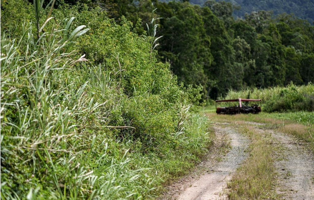
End of the road? Many fields surrounding the Daintree River lie fallow with negligible agricultural value. © Martin Stringer/Rainforest Rescue
The economic case that makes this more than conservation
Here’s the bigger argument, and it’s one the plan’s biodiversity theme now helps us make.
The Douglas Shire has a land use vacancy. Marginal floodplain with no viable agricultural future. That’s a challenge, but it’s also a real opportunity if the planning and economic frameworks align.
Environmental markets are key to that alignment.
Biodiversity credit markets, being developed at both federal and state levels, create a mechanism to assign genuine economic value to ecological restoration. Landholders who restore degraded wetland, rebuild rainforest corridors, or reconnect oxbow systems to the river can earn income from doing it. Carbon markets offer a parallel pathway, particularly for blue carbon in mangrove and wetland systems, where sequestration rates per hectare are among the highest on the planet.
This is what a restoration economy actually looks like. Not conservation as charity. Not land sitting idle while everyone waits for something better to come along. A genuine economic model where restoring the Daintree’s lowland systems generates income, supports local employment, and produces environmental outcomes of global significance.
The FNQ Regional Plan’s ecotourism and biodiversity theme provides the planning legitimacy for this pathway. Its SRA provision gives us a specific mechanism to build on. What needs to follow is investment, coordination, and the willingness of local and state decision-makers to move together.
What needs to happen next
A plan is merely a foundation. The building, of course, still needs to happen.
For the Daintree lowlands, that means translating the plan’s ecotourism and biodiversity theme into planning scheme provisions that enable restoration as a viable land use at scale, including on former cane paddocks which are now no longer recognised as good quality agricultural land. It means accelerating environmental market frameworks in Far North Queensland so landholders have a real economic pathway. It means actively using the SRA provision the plan provides to designate priority landscapes before the window closes. And it means local planning catching up with the direction the state has already set.
The Oxbow is ready. The on-ground evidence is clear. The plan has the mechanism. The question now is whether the localised policy settings, the investment, and the coordination can move at the pace the ecological opportunity requires.
We think they can. And we intend to make sure they do.
For the rainforests,
Branden Barber
CEO, Rainforest Rescue
Want more good Rainforest news in your life?
Subscribe to our eNews | Follow us on Instagram | Like us on Facebook | Subscribe to our YouTube channel
Help Protect Rainforests Forever
Donate to Protect Rainforests Forever | Become a Rainforest Guardian | Partnership Options